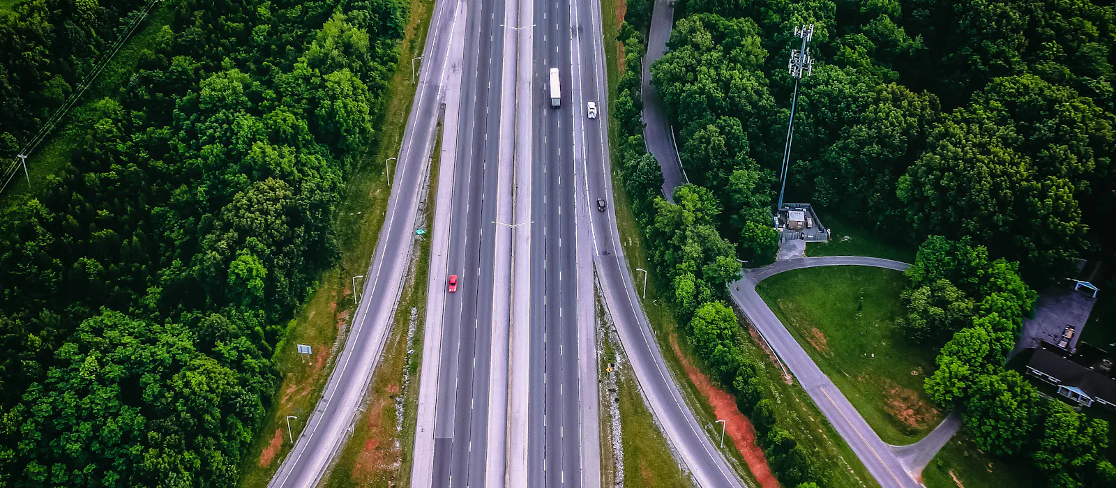
The İkitelli Organised Industrial Zone and Başakşehir Çam and Sakura City Hospital are in this district. Thanks to the Northern Marmara Motorway and TEM connections, both Istanbul Airport and the intercity roads are quickly accessible; corporate guest and trade fair transfers for companies in the industrial zone are planned frequently.
Distances from Başakşehir to the airports and the city centre
| Route | Road distance | Time without traffic |
|---|---|---|
| Istanbul Airport (IST) | 29 km | 25 min |
| Sabiha Gökçen Airport (SAW) | 73 km | 55 min |
| Taksim Square | 26 km | 25 min |
| Sultanahmet (Historic Peninsula) | 25 km | 25 min |
Times are calculated for hours when traffic flows freely; in Istanbul they can be considerably longer during the morning and evening rush hours. For airport transfers, the pick-up time is agreed together based on your flight time and the amount of luggage.
What services do we offer in Başakşehir?
- Airport and hotel transfers (with a name sign)
- City group transfers
- Weddings, engagements and special occasions
- Corporate meeting, congress and trade fair transfers
- Day trips and overnight trips outside the city
Nearby districts
Sultangazi, Bağcılar, Arnavutköy, Esenler, Güngören.
Intercity travel from Başakşehir
We plan one-way, return or overnight tours from Başakşehir to all 81 provinces of Türkiye. Frequently planned routes: Ankara, Bursa, Sakarya, Bolu, Çanakkale, Izmir, Antalya, Edirne. See all provinces and districts.
Frequently planned routes
- Başakşehir – Istanbul Airport (IST) transfer
- Başakşehir – Sabiha Gökçen (SAW) transfer
- Başakşehir – Taksim / Sultanahmet city group transfer
- Başakşehir – Sapanca, Bursa, Bolu day trip
- Başakşehir – Ankara, Izmir, Antalya intercity journey
Frequently asked questions
How long does it take from Başakşehir to Istanbul Airport?
How long does it take from Başakşehir to Sabiha Gökçen Airport?
Do you organise group journeys outside the city from Başakşehir?
Distances and travel times are approximate values calculated with OpenStreetMap data; actual times vary with the pick-up address, traffic, weather and breaks.